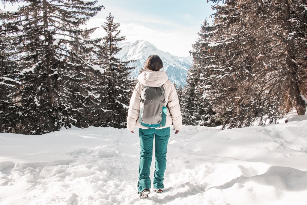
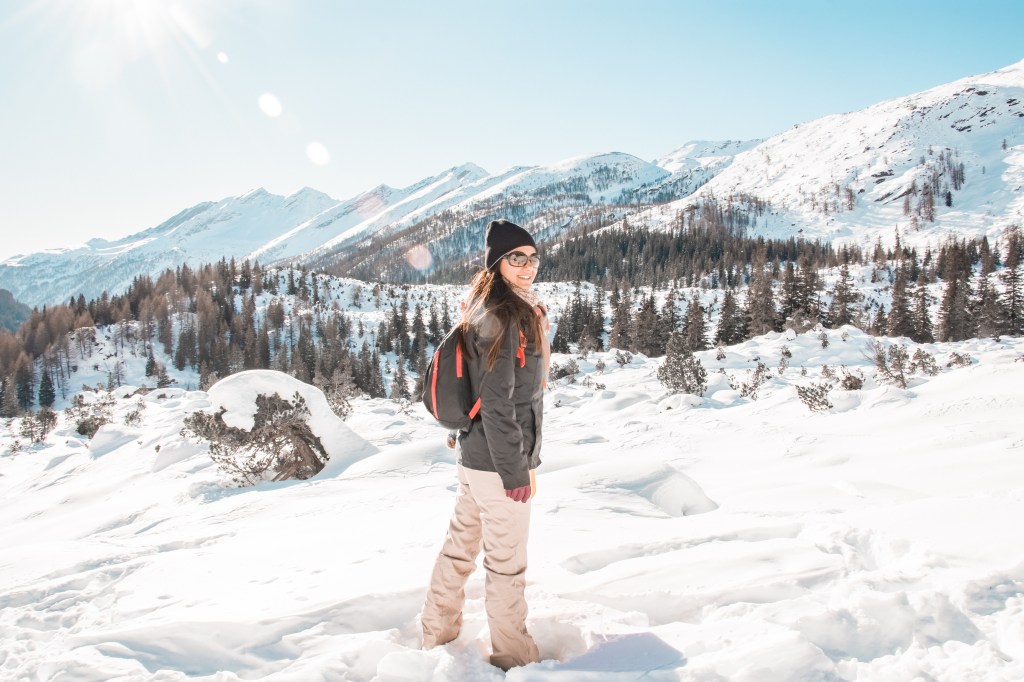
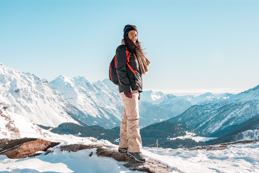
Since we moved in Canton Ticino we are trying to discover this beautiful Swiss region. It is rounded by the amazing Alps and mitigated by many lakes which suits perfectly with our favourite outdoor activities.
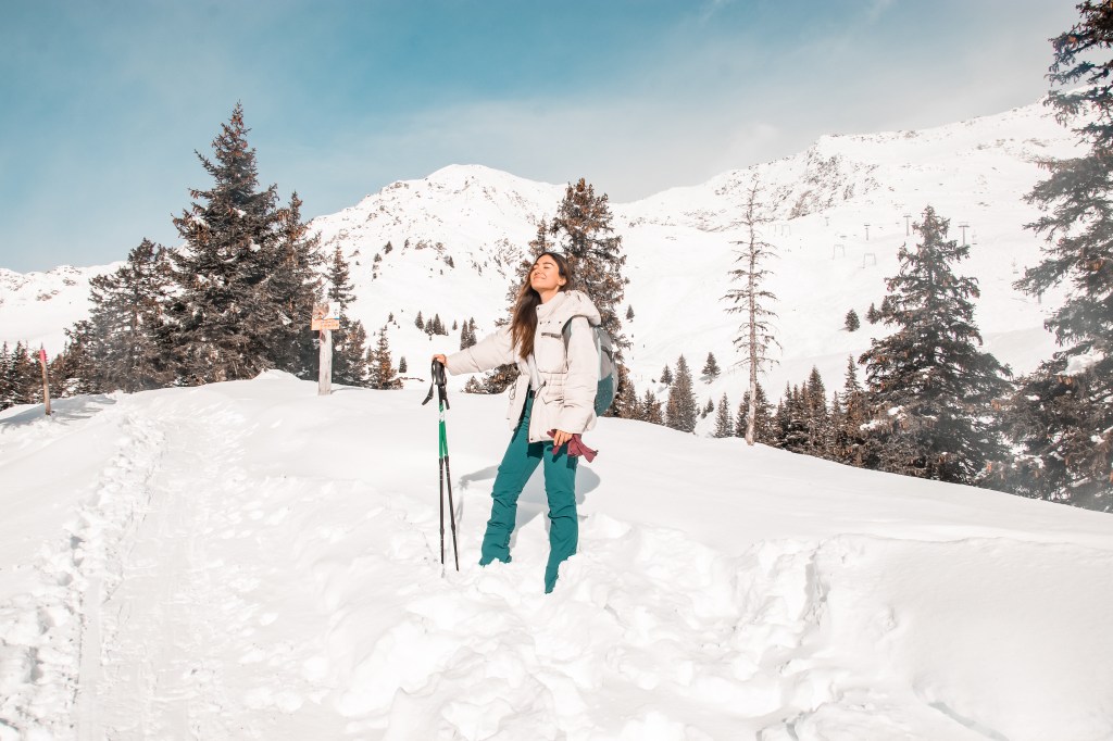
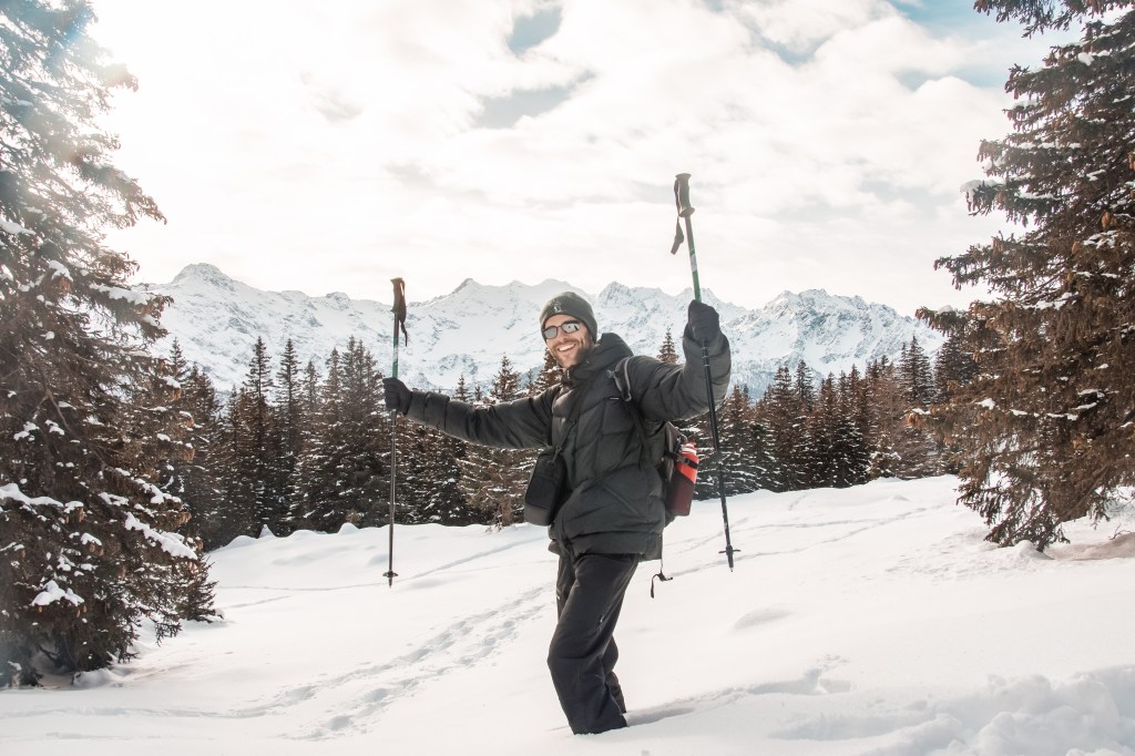
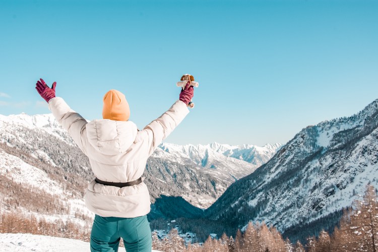
We didn’t taste spring or summer feeling yet, but we’re loving our hiking time in winter.
In this post we will show you 5 hiking we did in Ticino. We were not sure if they were possible without snowshoes but we checked ourselves and we can confirm the paths are visible and snow well pressed. We did all of them with our mountain boots only.
MONTI DI LEGO
Brione sopra minusio –> chiesetta dei monti di lego
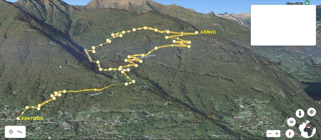
Type of path : Circle
Starting point : Oratorio Santa Maria del Carmelo in Brione sopra Minusio
Difference in height : 550 m
Distance : 7 km
Time : 3 hours without lunch
Path : Follow Monti di Lego until Chiesetta dei Monti di Lego
Difficulty : easy / medium
Most of this itinerary is into the forest, After the first small steep ramp, the first part of the path is really comfortable and not too hard. After crossing the Navegna River, you reach a small village and keep following Monti di Lego.

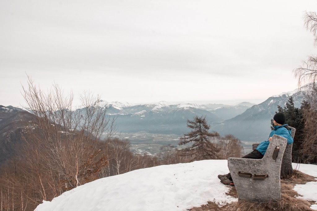
Once the village is left, the path starts to be a little more steep and it rises in altitude quite quickly. During our climbing we stopped to have lunch sitting on a wood bench close to an house, which is probably used on summer time as panoramic bar.
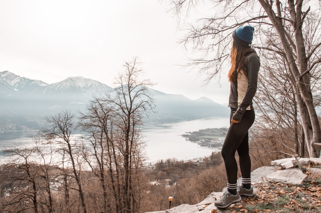
Proceeding we walked through another small and cute village, here we had our first contact with the frozen snow and the lake view..
We were almost on the final part of our climb and finally after 15 min we reached the big cross close to the Chiesetta dei Monti di Lego.
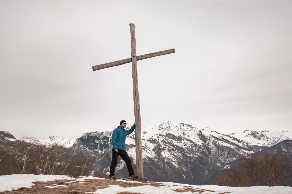
From up there you have an amazing view of the Piano del Magadino on left side and the Lake Maggiore on right side.
CARI’
chairlift parking –> OSTERIA BEL VEDERE

Type of path : Circle
Starting point : Chairlift ticket office
Difference in height : 350
Distance : 8.5 km
Time : 4 hours with lunch and photos
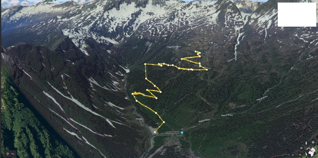
Path : Cari’- Predelp – Belvedere – Cari’ ( Path 955 )
Difficulty : medium
First of all a little advise from our own experience, don’t go too late in the morning. Cari’ is well known as skiing station, so let’s say from 9:30 a.m. the risk that the parking might be full increase every second 🙂
We’ve been lucky anyway and we found one of the few left.
The path is well reported and it starts inside the village to get into the forest after few hundreds meters.

After a while we reached a fork. Because is a circle if you take left side you come back from right side and vice versa. We took right because is more steep and you reach the Belvedere faster.

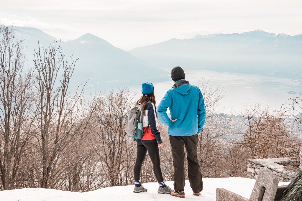
During our lunch break, standing, because we couldn’t find anywhere to seat, we did admire the beautiful view of the mountain around us. Despite many other places in the mountain, this one is all day under the sun. Don’t forget your solar cream 😉
I wanted to use the drone, but was a bit windy and my hands were frozen even if I was wearing gloves. Meanwhile my kid was having fun!! 😉
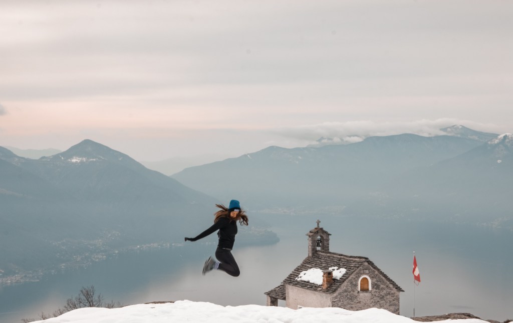
Our descending has been more enjoyable and we spent also time for a few instagram reel and some nice shot!

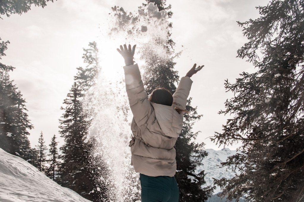
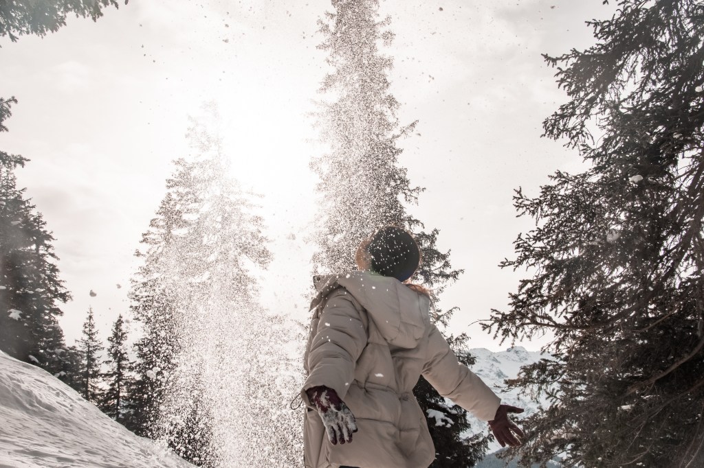
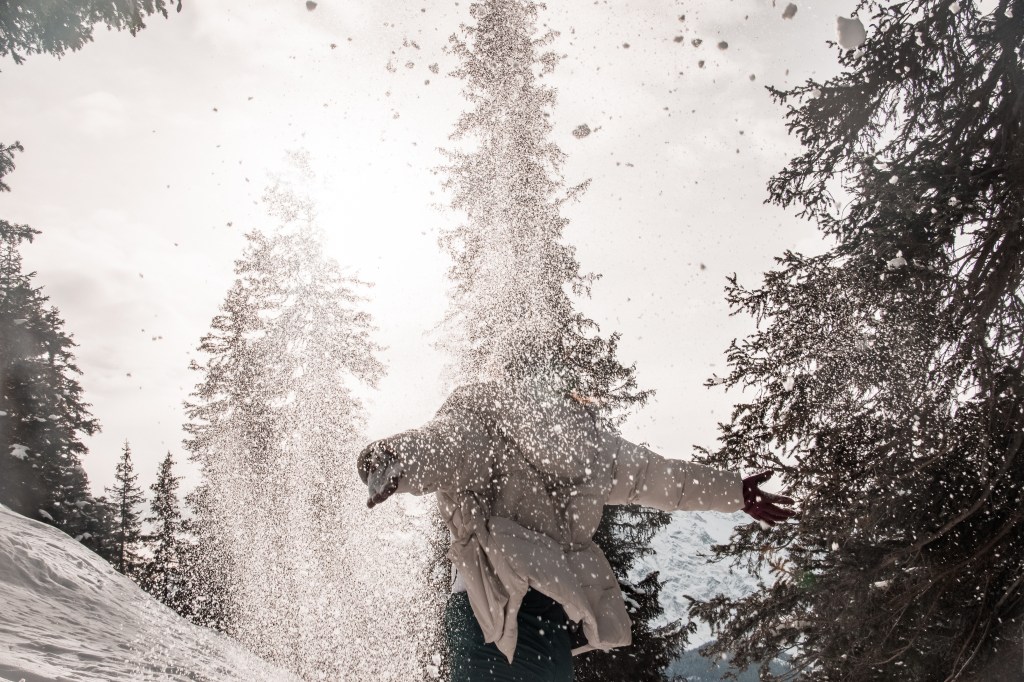
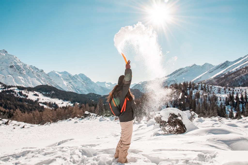
Of course we couldn’t resist to a snow shower! 😉

BOSCO GURIN
chairlift parking –> CAPANNA GROSSALP
Type of path : Circle
Starting point : Chairlift parking
Difference in height : 445 m
Distance : 7.5 km
Time : 3 hours with lunch
Path : From the parking follow the road to the forest
Difficulty : easy
Well let us be honest with you, if you don’t like too much cold temperature, avoid this place. The reason is really simple, more than half of the path is in the shade. The temperature has been around -7 degrees mostly all day.
The ascent path follows what in summer is a road to reach the higher houses. The snow is really well pressed and its easy to walk on it.
Under the sun the temperature was just a little bit warmer, enough to eat our delicious wrap. Here was my happiness walking under the sun 🙂
The last part of the climb follows the skiing track and the snow is a bit softer, so its easier to sink with your feet. A funny solution might be to jump into it and have fun!!


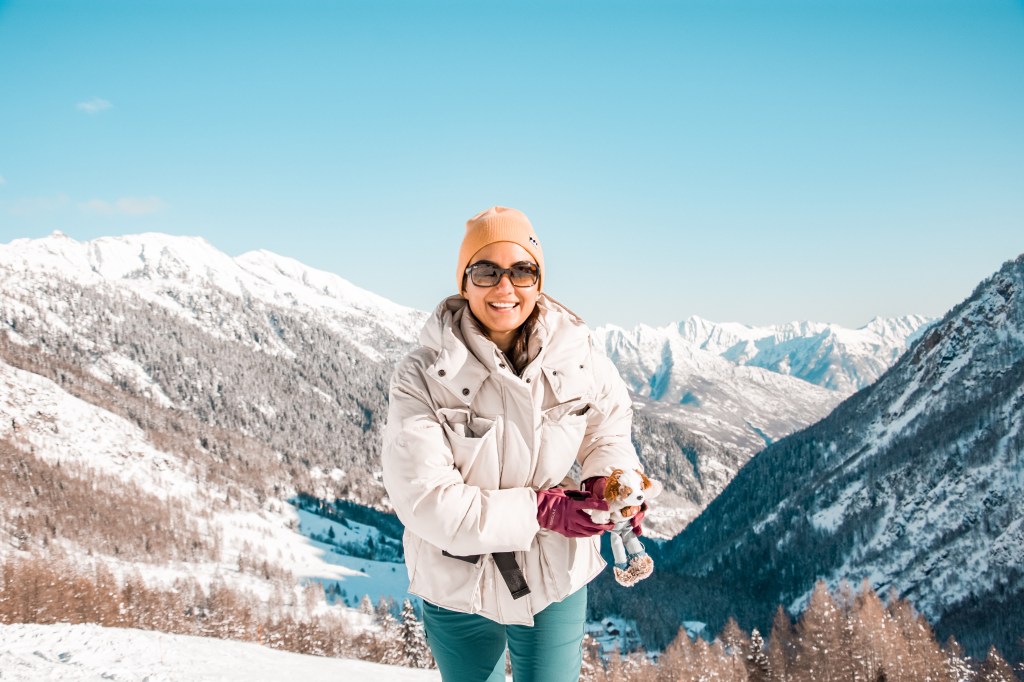
Was time to show the view to Berry Bernardo, Den’s San Bernardo peluche 🙂 He is so cute, isn’t he? 🙂

Coming down we realized was even colder than in the morning. We really appreciate the heating setup on max in our car.
PASSO SAN BERNARDINO
PARKPLATZ –> ospizio passo san bernardino
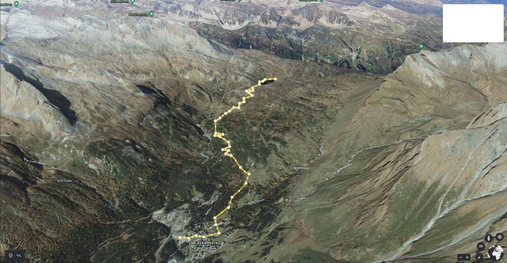
Type of path : Circle
Starting point : Parkplatz San Bernardino
Difference in height : 500 m
Distance : 12 km
Time : 5 hours with lunch and photos
Path : Follow the path direction Moesola lake
Difficulty : medium
We’ve arrived quite early in the morning and the parking was still half empty. This time we had to pay for the parking even on Sunday. Around 5 CHF for all day.
The climb starts inside a cute forest. At beginning it is quite flat, becoming a bit more steep after 1 km mostly. You cross may times the road that in summer time is used by cars to reach the Pass.
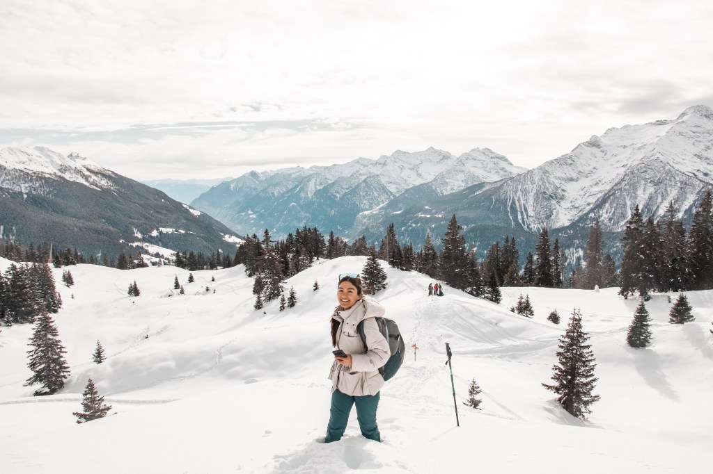
The view during the climb is amazing!!

The weather was sooo good. Blue coloured and clear sky, but it was damn cold and windy. Despite this we still had our smiles 😉

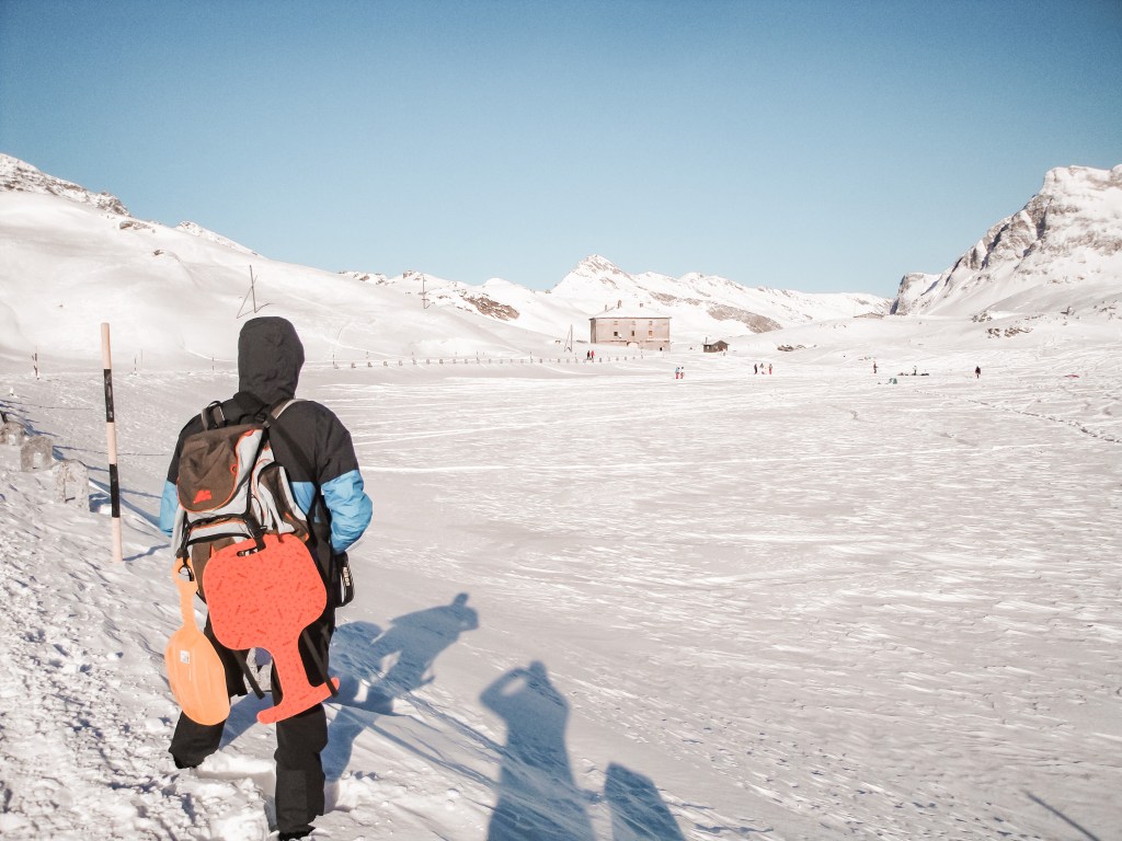
The wind was cutting literally our face and temperature was around -9° C. Even under the sun we had to constantly move to don’t get cold. Following the road is an easy path for 3 km. Last part of the track is really steep and hard to climb without snowshoes, but we did it anyway! 🙂
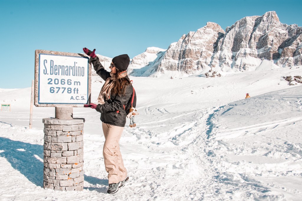

The Pass is really beautiful. Just rounded by mountains, so peacefull. There is also a Frozen lake.
We found a nice place covered by the wind and under the sun to have our delicious wrap and warm tea. We found 2 chairs close to the San Bernardino Ospice so we were also really comfortable.
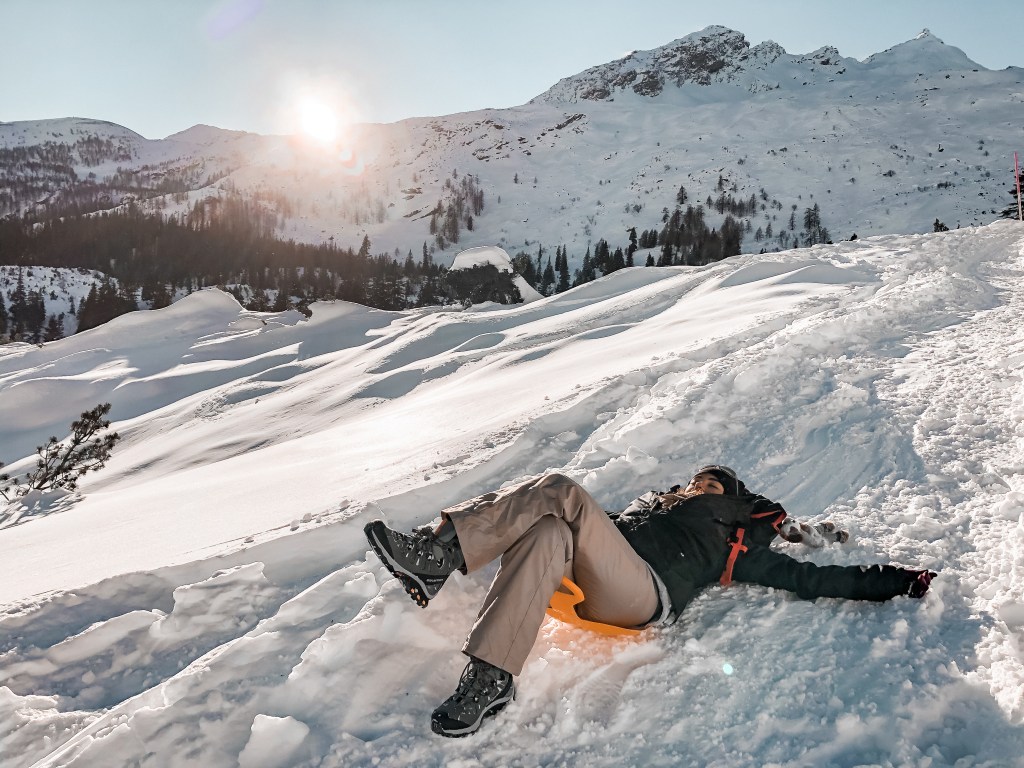
After our break was time to go back, the sun was going behind the mountains and the shadow was getting closer as the freezing temperature. On the way back we did enjoy sliding on the snow with our 5 CHF decathlon slide. The path was enough steep to let us laugh and play as 2 kids.
Finally we got the parking, Ste was freezing and at beginning couldn’t even drive because he lost the sensibility of his hands
Once we got at home we spent an hour taking the hottest shower ever!! 😉
CIMETTA
MONTE BRE’ SOPRA LOCARNO –> CIMETTA
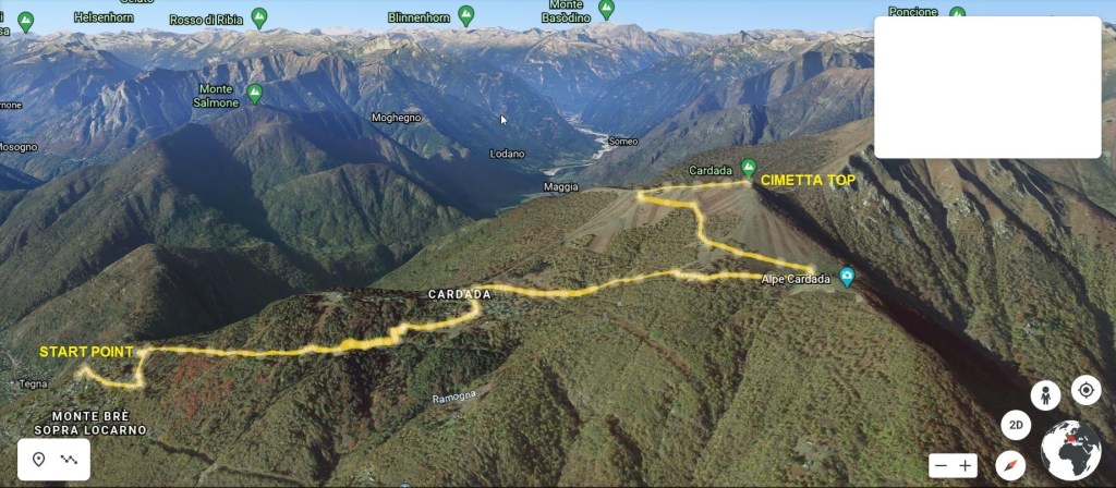
Type of path : Circle
Starting point : Spielplatz monte Bre’
Difference in height : 650 m
Distance : 11.2 km
Time : 5 hours with lunch photos and drone video ( 4 hours just the hike )
Path : Follow the road to Cardada untill you reach the starting point of the path to Cardada and Cimetta. ( Path 954 )
Difficulty : medium
This time we decided to stay closer to our house, so we’ve driven for just 20 min direction Monte Bre’ where we parked along the road. There are not too many parking places.
We walked following the same road for the first 300 m until the beginning of the path. Follow direction Cardada. It is a small village, very cute. The weather was sunny and quite warm to let the snow melting a bit under our feet.
The path is really visible and not too strong. You walk inside the forest for a while , in between beautiful white threes.
Once you reach the end of the cable car, follow Cimetta. You have 2 choices, one is the road which is easier and longer or the snowshoes path which is steeper and shorter. After a while they merge together before the last climb to Cimetta.
The sun was shining in the sky, there were many people up there. The view is speechless!!
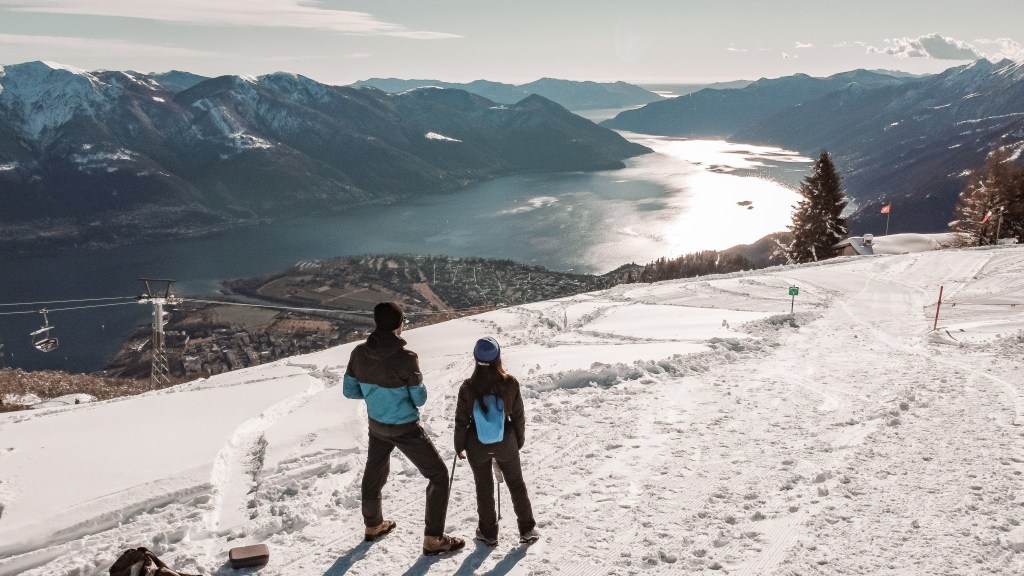
We had our lunch and I did a short Drone video to record this amazing view!
The Lake Maggiore in beautiful, you won’t want to go back from there I bet you.. 🙂
The temperature was great. Warm and so sunny. Our descent has been easy despite our legs were a bit tired.
If you don’t want to hike from Bre’, you could take the cable car from Orsellina.
Funivia Orselina-Cardada | Schweiz Tourismus (myswitzerland.com)
